Description
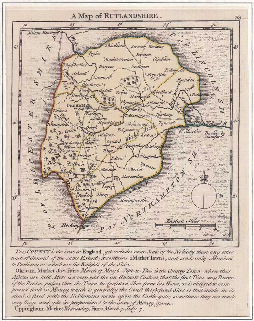
1751 MAP OF RUTLAND BY KITCHIN AND JEFFERY. A very fine example of the 1751 map of Rutlandshire by Kitchin and Jeffery, printed area approximately 135 x 174mm with part hand colour. A scarce map which originally appeared in 'The Small English Atlas' by Kitchin and Jeffery with interesting topographical information at foot of map. (Ref 129370).