Description
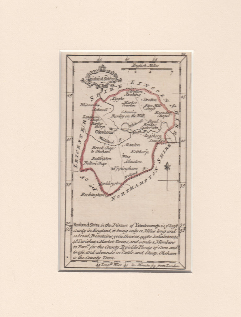
1759 MAP OF RUTLANDSHIRE BY JOHN GIBSON. A fine map of Rutlandshire (90 x130) within card mounts by John Gibson, printed in 1759 and published in his 'New and Accurate Maps of the Counties of England and Wales'. Scarcer map. (Ref 129640).